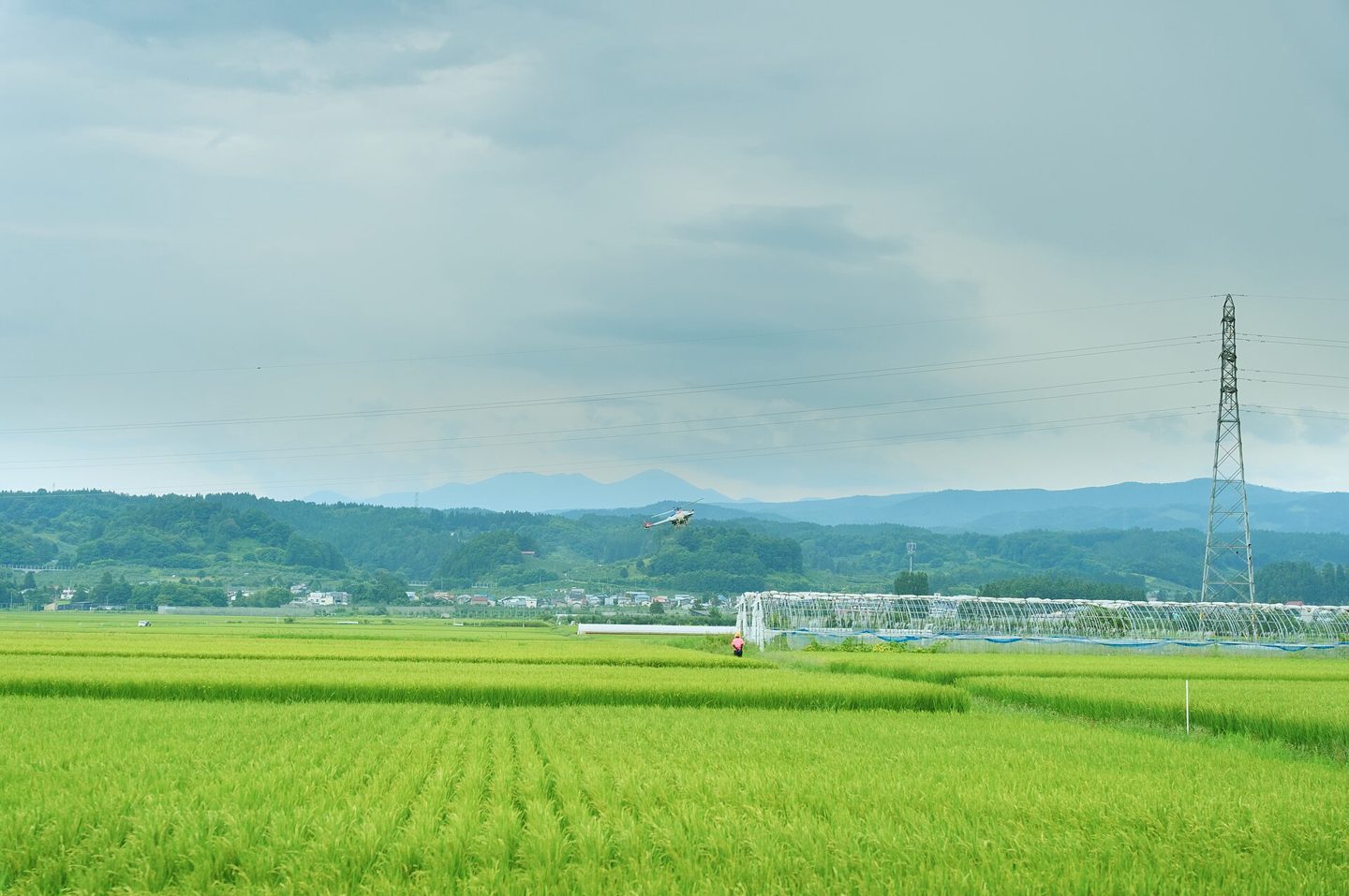
Farmers today increasingly let a computer take the first look at a field. Point a phone at a row of crops, or let a sprayer’s onboard cameras scan the ground as it moves, and a computer vision model — not just a person walking the rows — is doing the looking. In practice, AI in agriculture means machine learning systems trained on labeled images and sensor readings that spot weeds, pests, and disease earlier than manual scouting, turn satellite and drone imagery into maps a farmer can act on, and forecast yield before harvest.
What AI Actually Does on a Farm
The most mature use case is targeted spraying. John Deere’s See & Spray system mounts dozens of cameras along a sprayer boom; onboard image-recognition software — built on the same neural network techniques behind most modern computer vision — tells crop from weed roughly 20 times a second as the machine moves through the field, and fires only the nozzles above an actual weed. Field trials reported by Mississippi State University Extension found the approach cut herbicide use by as much as 77% compared with spraying an entire field, with a separate trial showing better weed control while using 47% less herbicide overall.
Above the field, precision agriculture platforms combine satellite and drone imagery with machine learning to track the Normalized Difference Vegetation Index (NDVI), a measure of how green and vigorous a crop looks from above. Models trained on NDVI history, weather, and soil data can flag a drought-stressed patch of a field days before it’s visible on the ground. Published evaluations of yield-prediction models show accuracy that swings widely by crop and method — from around 70% to well above 95% in controlled tests — but consistently find deep-learning models beating older statistical ones. The same computer-vision approach extends to livestock, where camera systems can flag a limping animal or a stressed pen of poultry before a handler notices, and to supply chains, where demand-forecasting models help route produce to cut spoilage between field and store. Analysts at Precedence Research put the global precision-farming market at roughly $14 billion in 2025, projected to more than triple by 2035 — a rough proxy for how fast this is being adopted.
How to Start
None of this requires a farm’s worth of new hardware to try. Free tools such as OneSoil let anyone with a phone or a browser draw a field’s boundary on a map and get satellite-based vegetation and moisture readings updated several times a month, plus a short-range weather forecast — enough to flag where a field needs a closer look. Scaling up to variable-rate fertilizer maps, yield-productivity layers, or camera-guided sprayers is a paid step from there; providers like OneSoil price the advanced tier by region and field size rather than a flat fee, so getting an actual number means requesting a quote (as of July 2026, per its help center).
What to Watch For
Free satellite imagery is typically resolved to around 10 meters per pixel — coarse enough to blur a small or irregularly shaped plot. Drones close that gap but add equipment cost. The models also inherit a problem machine-learning researchers call domain shift: a weed classifier trained on one region’s crops and soil can misfire elsewhere until it’s retrained on local imagery. And every recommendation an AI model produces — spray this, irrigate that, harvest now — is still a probability estimate that a human still has to sign off on; it gives a farmer’s judgment better inputs, faster, rather than replacing it. It’s also worth reading a platform’s terms before uploading a season’s worth of field data, since what a vendor can do with that data — and whether it stays the farmer’s own — varies by company.